

KEY WORDS: Large-scale monitoring, Building detection, Image segmentation, Residual blocks, Skip connection
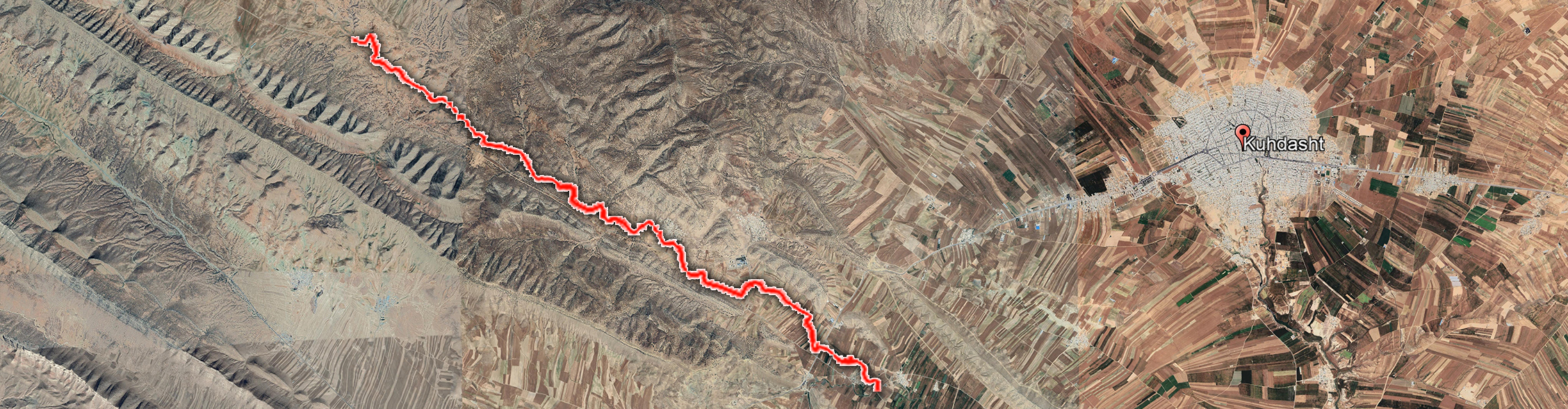
KEY WORDS: Indigenous knowledge, gully, sustainability, ecosystem, Awraki, Chabahar
KEY WORDS: demographic changes, erosion, gully, Awraki, Chabahar
KEY WORDS: Flood risk assessment, hydraulic model, vulnerability, reliability, recoverability
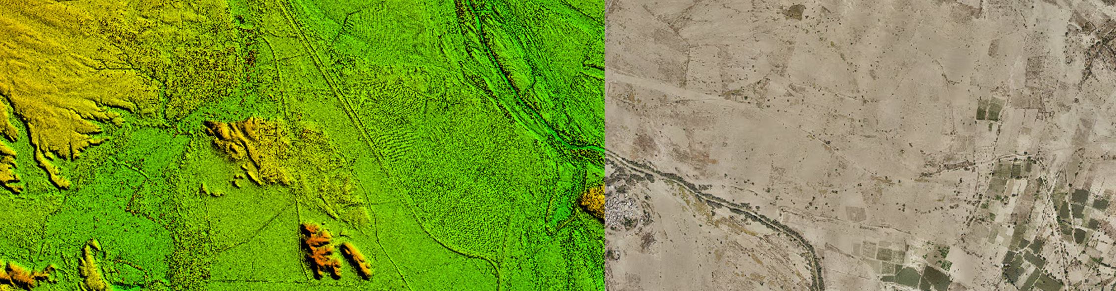
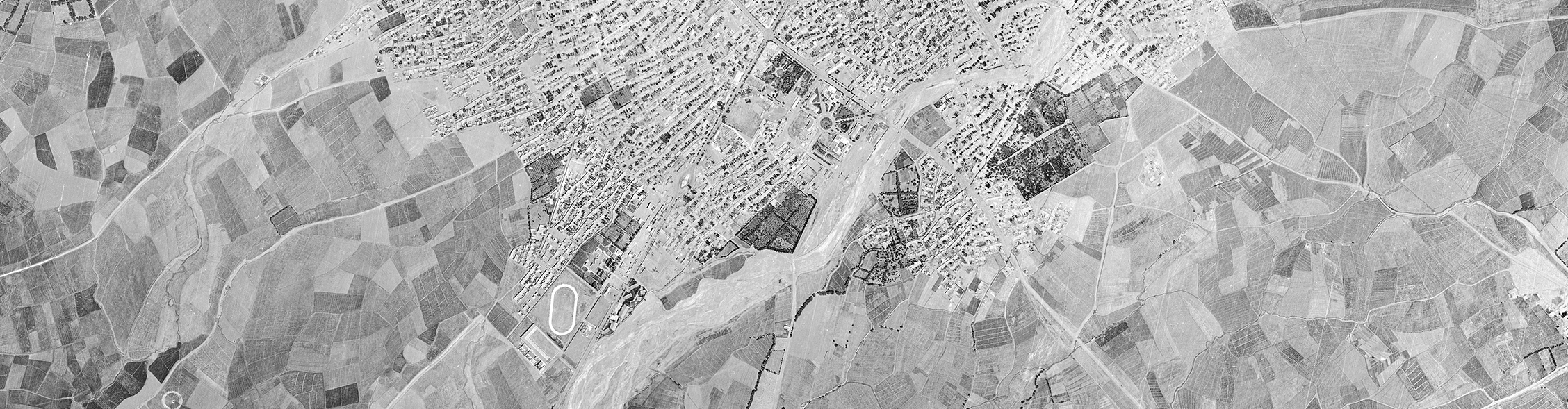
KEY WORDS: Photogrammetry, Orthophoto, Orthomosaic, Archived Aerial Images, Triangulation
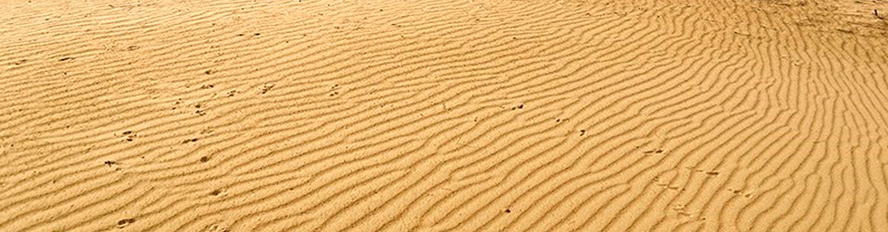
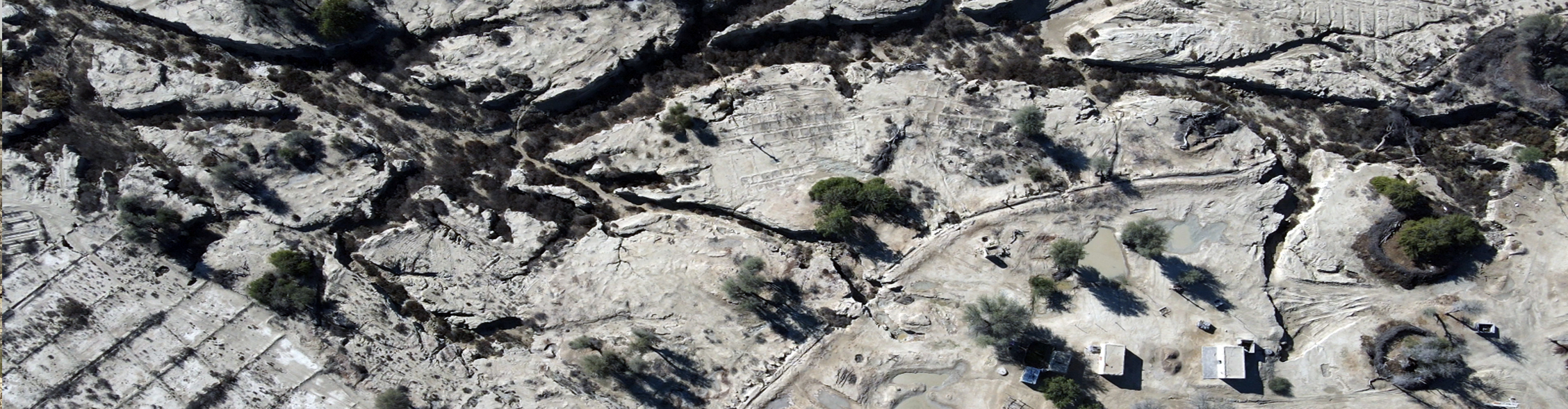
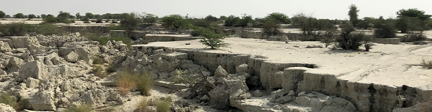
KEY WORDS: Loose sand, stabilization, clay mulch, liquefaction, quicksand
KEY WORDS: Inflow, Support Vector Machine (SVM), Neural Network, Golestan Dam
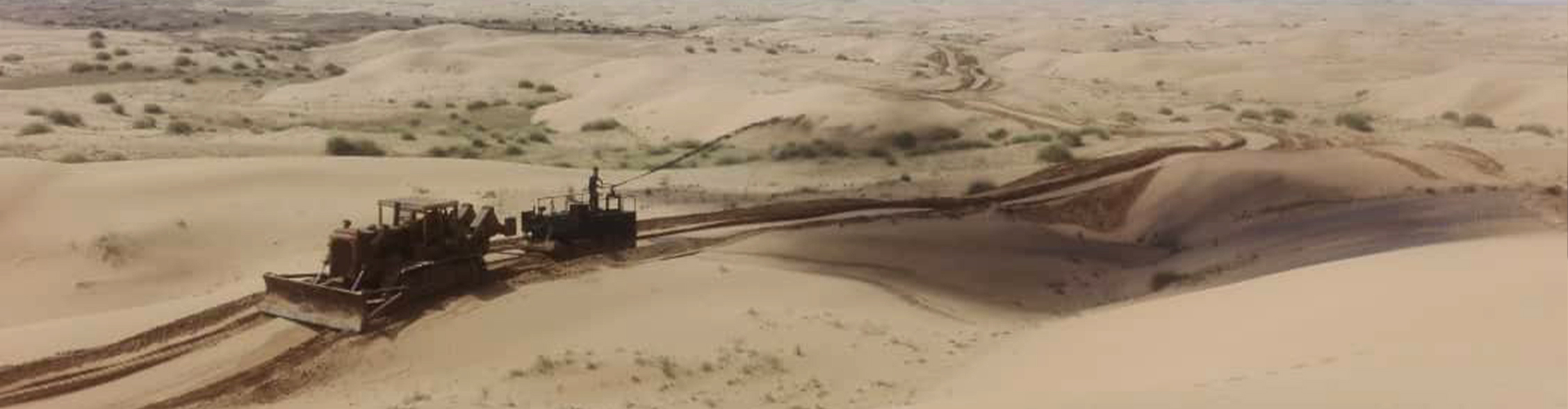
KEY WORDS: Loose sand, stabilization, clay mulch, liquefaction, quicksand
KEY WORDS: RAS-HEC, modeling, SIAM, Rafsanjan, sediment transport
KEY WORDS: Riverbed boundary, satellite imagery, flood management, Landsat 5
KEY WORDS: Tourism, river restoration, river tourism, supply and demand in river tourism
KEY WORDS: Bam City, flood spreading, location criteria, weighting, Analytic Hierarchy Process (AHP)