

Assessment of Gully Expansion over a 56-Year Period (1967-2023) and Estimation of Erosion and Sedimentation in the Dashte Jeyhoon Watershed, Bandar Khamir County
KEYWORDS: Gully, UAV, Erosion Models, Morphometry, DEM
Sponsor of the 9th National GeoLeague Competition
Estimation of Soil Loss Due to Sheet and Gully Erosion in the Jeyhoon Watershed, Bandar Khamir County
KEY WORDS: Erosion, Gully, RUSLE, WaTEM/SEDEM, UAV
Proposing A Top-Down Data-Driven Framework to Improve NASA's Landslide Situational Awareness System
Participation in organizing the 4th National Conference on Watershed Science and Engineering of Iran
Support for the 11th International River Engineering Seminar
-Participation in Conference Organization - ISPRS Annals of the Photogrammetry, Remote Sensing and Spatial Information Sciences, Volume X-4/W1-2022
Participation in Conference Organization- ISPRS Annals of the Photogrammetry, Remote Sensing and Spatial Information Sciences, Volume X-4/W1-2022
Improving the Accuracy of Hyperspectral Image Classification Using Spectral Separation and Hybrid Kernel Methods
KEY WORDS: Supervised classification, hyperspectral data, spectral unmixing, spectral-spatial classification, fusion
Assessment and Analysis of the Role of Gully Hazards in the Destruction and Abandonment of Rural Settlements in Chabahar County
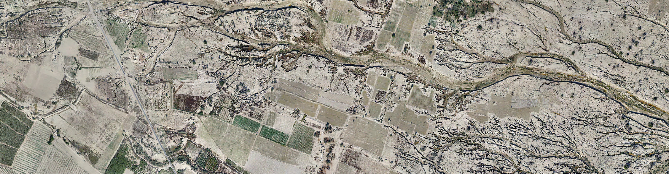
KEY WORDS: Gully erosion, gully, rural settlement, Awraki, PirSahraab, Chabahar
Quality Assessment of Land Suitability for Rainfed Almond Cultivation in the Rainfed Orchard Development Area
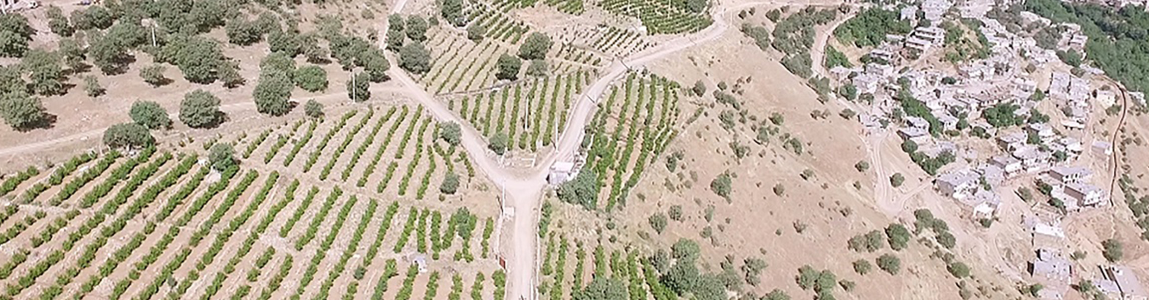
KEY WORDS: land suitability, rainfed orchards, almond, simple limitation method
Gully Extraction and Mapping in Kajoo-Gargaroo Watershed: Comparative Evaluation of DEM-Based and Image-Based Machine Learning Algorithms
KEY WORDS: Gully erosion, UAV photogrammetry, DTM, orthophoto, machine learning, manual digitizing, and image classification